Schedule Your Land Surveys Now & Get Free Estimation
Best Land Survey Company Services
LDR Survey Pvt Ltd is one of the Leading and most experienced Best Land
Survey Company services in Chennai.
We have a long tradition of strong execution and enduring client connections worked alongside quality
services.
LDR Survey Pvt Ltd has the experience, technical resources, and South India
capacity to enable excellent
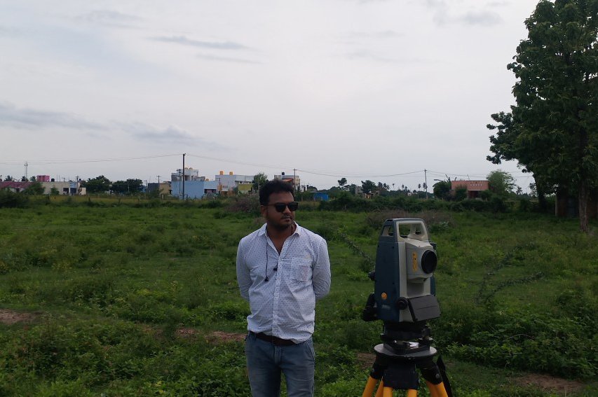
performance on any Land Survey projects includes (Indoor Service (Digital Photogrammetry, LIDAR,
Mobile LIDAR, GIS, CAD, PLS CAD, Remote Sensing, etc.) Outdoor Services (Total Station/DGPS Survey,
Boundary survey, Drain survey, Layout survey, DPR Survey, ATS Survey, Hand GPS Survey, Drone Survey
(UAV) etc.) Industries (Forest, oil & Gas, Railway, and Networking). Our staffs include surveyors, pilots,
Civil engineers, Photogrammetrists, as well as mapping analyst and GIS specialists.
we provide our services to independent geomatics companies, government bodies and the Private sector
including energy, oil and gas, forestry, Pipelines, Urban and rural planning, Agriculture, Fishery,
coastal management, Mining, Water Management, Cad Engineering’s, DBM, Railways & Transportations
industries.
The information is given in a format that is prepared to organise into a different file of GIS and CAD
structure that our clients use. LDR Survey Pvt Ltd company is not only a Profit-Gain Company but spent
more than its profit on social services.

CEO Says
[CEO]
LDR SURVEY PVT LTD is initiated by Team of M.R.Dinesh (CEO), D.Sangeetha (CHAIRMEN), R.Gangeyan (MD) who are having engineering experience. LDR SURVEY PVT LTD is a one stop solution for all your land problems. LDR SURVEY PVT LTD is provides you 100% honestly to get constructed Area, Vacant Land, Contours, Surrounded area details measurements for further development.

India's 1st ISO Certified Land Survey Company
ISO 9001:2015
Certificate No: 1214Q243423
What we Offer

History
LDR Land Survey Pvt Ltd was established in 2006 in Chennai,
India.
It has been operating having the status of Land Survey Data handled since 2006.
Since that time the organization has extended its operations. Having headquarters in
Chennai and has an official Land Survey development team in Chennai. The Company
provides services in the fields of Topographical survey, Digital Land Photogrammetry,
Boundary survey, ATS Survey, Drain Survey, Site Contour Survey, FMB, LIDAR, Mobile LIDAR,
GIS, CAD, PLS CAD, BIM, Satellite survey, Total Station survey, DGPS Survey and UAV
(DRONE Survey) etc. We use the latest technology and have qualified, expert, well
trained, well behaved staff with a wide range of experience.

Our Focus
High Quality (Accuracy), cost effective Land survey is the
primary
focus of LDR Survey Pvt Ltd.
The administration has more than 15 years of experience in Land Survey services. We always
assist
and
provide services to our clients that each project is achieved and executed with focus the
standard.
The Trust we gain with our clients give us the freedom to work with them, with stagewise
improvement,
design consultation, operation & execution.

Our Strength
Our People are experienced Surveyors, Highly Qualified,
trained on
latest technologies,
we understand What our clients wants and needs
- Experienced & Professional.
- Honest & Dependable .
- Bonded.
Our Professional Experts

Our People are experienced and periodically trained on latest technologies, we understand what the client wants and needs.
- Experienced & Professional.
- Reference Checked.
- Honest And Dependable.
- Insured & Bonded.


